April 23, 2016
Don decided he needed to refill his prescriptions before we
set off, so he took a taxi to the Mega to attend to that while I got the boat
ready to go. I stripped off the canvas
covers and filled all the water jugs.
The clear, collapsible jug and sun shower were green with algae, so I
scrubbed them out with a dish brush and then added a few drops of bleach in
when I refilled them to prevent that happening again. I topped off the water tank, lowered the
dinghy onto its cradle, and lashed down the jerry cans. Don was gone some time because he needed to
go to four pharmacies before finding what he needed. Still, we had time to say a reluctant
farewell to Jake and Jackie on Hokule’a and
check out before noon.
 |
| Fuel Dock at Marina Palmira |
We motored up the channel to Marina Palmira to buy
fuel. Having finally succeeded in
isolating the forward fuel tank and pumping it dry, we wanted to calibrate the
new dipstick so that we could tell how much fuel was in it going forward. This process required three people because
the pump with the meter was on shore. We
needed the attendant to tell Don when he reached each five gallon
increment. Don turned off the flow and
then I dipped the stick and cut a notch at each level. Of course I had to explain all this to the
attendant in Spanish. Everything went
fine, however, and the attendant was very patient and helpful with the process.
 |
| Hurricane Wrecked Boats at Yard Next to Palmira |
After leaving the fuel dock, we had to decide where to
go. Strong southwesterlies were
predicted for that night and most of the anchorages were open to the
southwest. The only anchorage we could
reach before dark not open to the southwest was Puerto Balandra. The guidebooks warned that, while not a lee
shore in a southwest wind, swells would wrap around and make it very rolly. We elected to go there, anyway, since
caffeine had kept me awake until 6 AM the previous night and I could barely
keep my eyes open. Sailing 42 miles to
San Evaristo, our next good anchorage, was out of the question.
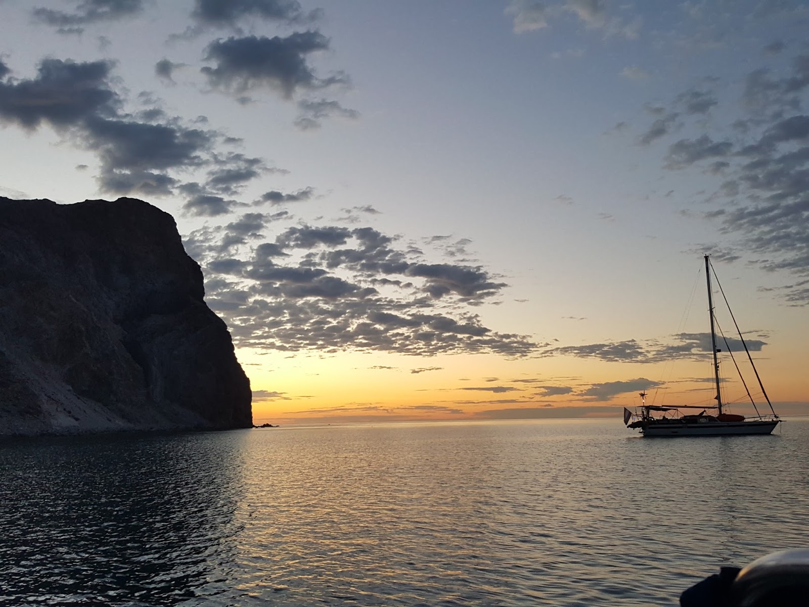
We arrived in Puerto Balandra and dropped the hook at
15:00. Puerto Balandra was a large,
gorgeous anchorage with white sand beaches and turquoise water. Much of it was very shallow and looked like a
great place to play in a dinghy on a hot day.
The best anchoring spots tucked under Punta Diablo were already taken by
other sailboats. We anchored as close to
the point as possible. We had our
celebratory beer and a snack and then I napped until nearly 19:30.
 |
| Puerto Balandra |
The wind had one southwest as predicted by the time I got
up. I made pork tacos and salad for
dinner. It was too rough to barbecue,
but didn’t get really crazy until poor Don was trying to do the dishes. The wind increased to nearly 20 knots and the
swells were hitting us on the beam and rolling us mercilessly. Despite a margarita with dinner, I had a hard
time getting to sleep and then woke around 2:00 with what felt like whiplash in
my neck. I lay awake until 4:00 when the swells started to abate somewhat.
April 24, 2016
By 7:00, I was tired of pretending to sleep and got up and
made coffee. I wrote and drank coffee
until Don got up. We readied the boat
and pulled out of the anchorage about 10:30.
 |
| Sailing Past Isla Espiritu Santo |
It was a gorgeous, clear day and we had a nice breeze in the
morning. We put up the sails, shook the
reef out of the main, and sailed across the channel and up the west coast of
Isla Espiritu Santo. All of the usually
popular anchorages were completely empty because of the southwest winds. Our breeze died about noon, so we rolled up
the jib and continued north under motor.
We took the scenic route between Isla Ballena and Isla
Espiritu Santo. Then we passed the
shallow passage between Isla Espiritu Santo and Isla Partida and continued
north past the previous day’s intended destination of Ensenada Grande and then
struck out across open water for 15 miles to Isla San Francisco. Except for the lack of sailing wind, it was a
perfect day. Don made us oatmeal for
lunch. I took a little nap. By 15:00, we were approaching the
island.
 |
| "The Hook" at Isla San Francisco |
Isla San Francisco was a small
island with a curving arm that created a famous, turquoise blue anchorage known
as, “the Hook.” It was a beautiful spot,
but unfortunately open to the southwest.
We anchored on the other side of the arm which, while not blessed with
sugar sand beaches and a white bottom, was still a pretty anchorage and
protected from the wind. Most of the
boats at Isla San Francisco had anchored in, “the Hook,” even though it would
be a lee shore. There were only two
boats on our side.
 |
| Comet on the Back Side of Isla San Francisco |
We took a swim in the somewhat chilly but beautifully clear
water. I did nine laps around the boat
and then took a nice solar heated shower.
The sun was warm, but there was enough breeze to avoid turning the place
into a reflector oven. We relaxed all
afternoon and then Don barbecued actual Polish sausages that we had found at
Chedraui while I made curried cauliflower and salad. We ate in the cockpit and sat sharing a
bottle of wine and listening to music while the nearly full moon rose in the
east. The night was mild and we enjoyed
being outdoors in the bug free air, feeling like geniuses for having predicted
the nighttime shift of the wind to the southwest that provided us with a
comfortable and secure anchorage.
April 25, 2016
 |
| Salt Pond on Isla San Francisco |
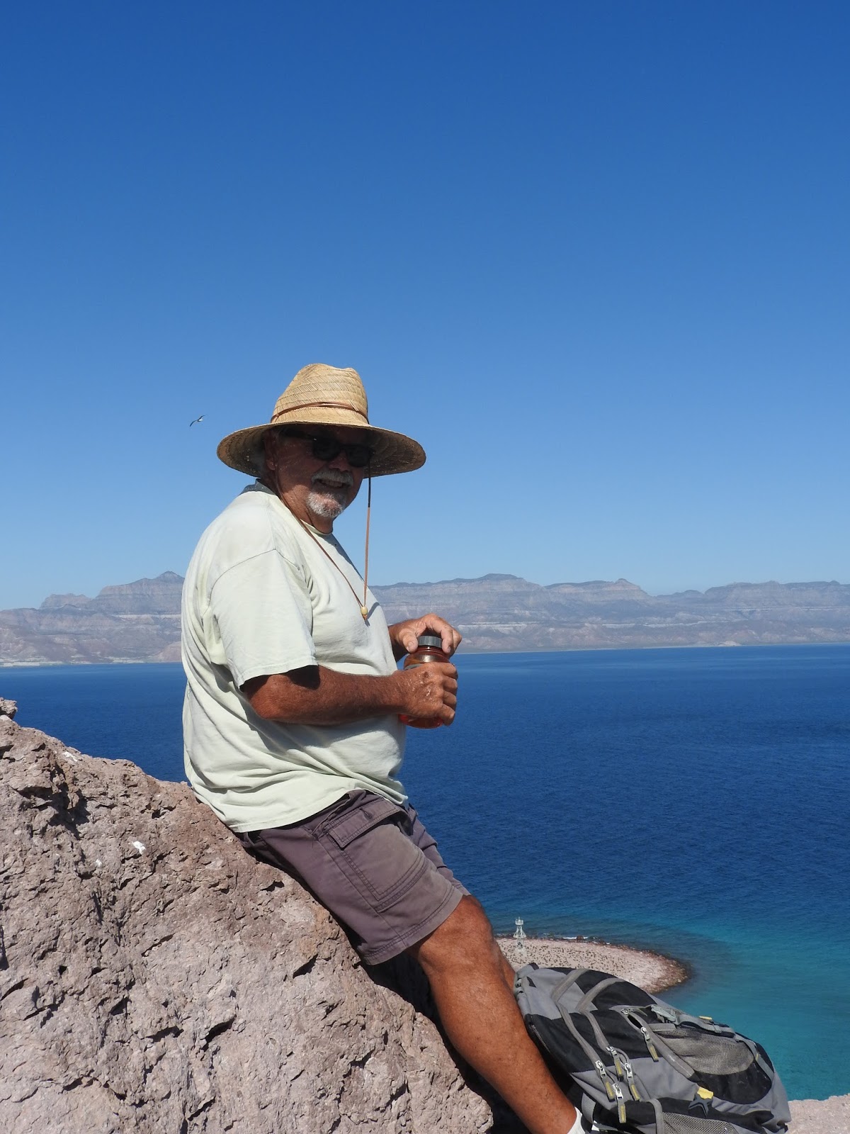
We wanted to go ashore and take a hike up to the top of the
ridge above “the Hook.” We got up early
and were coffeed up and ready to hop in the dinghy by 9:00. There was no swell whatsoever on our side of
the island, so we had a very dry trip to shore and an easy landing, although it
was a job to haul the dinghy up the steep, soft, pink gravel beach. We walked up the sand dune separating the two
bays and then crunched across a dry salt pond in the center of the
isthmus. Everywhere, we could see lizard
prints looking like bicycle tracks in the sand.
We crossed over to the pretty beach on the other side and followed that
to a trail that led up the ridge.
Climbing to the ridge was an easy hike, but following the ridge to the
end of the arm and the “summit” required some boulder hopping. We had a snack on top and then followed the
arm down to the tip of the spit that formed “the Hook.” We took lots of pictures and then ambled
along the beach and back over the isthmus to our dinghy.
 |
| Don on the Ridge Above Isla San Francisco |
 |
| The Ridge Above Isla San Francisco |
We had worked up an appetite, so I made pancakes upon our
return to Comet. I took a nap and we spent a lazy day
until Don decided to go snorkeling. Unfortunately,
he found the water full of tiny jellyfish.
They didn’t sting him, but he got out just to be safe, quashing my
intention to swim to shore later.
Instead, I played the guitar for a bit and Don constructed a new leg for
the cockpit table, which had been out of service for some time. Then we had a beer and relaxed until
dinnertime.
For dinner, Don barbecued salmon and I made mashed yams,
broccoli, and salad. We felt very
civilized, eating with a table in the cockpit.
After the dishes were done, it was very dark and we sat in the cockpit,
all alone in the anchorage, enjoying the multitude of stars and listening to
music.
April 26, 2016
 |
| Isla Coyote |
 |
| Rocas Focas |
We didn’t have far to go, so there was no need to rush. We had coffee and still pulled up the anchor
by 10:30. We headed north around Isla
San Francisco and then cut across to the San Jose Channel, passing Isla Coyote
and Rocas Focas (Seal Rocks) along the way.
Isla Coyote was an anomaly because, despite being a tiny island
surrounded by sheer cliffs on most sides, it was one of the few inhabited
islands in the Sea of Cortez.
There was plenty of wind, so we hoisted the sails and sailed
across the channel. By the time we
cleared Isla San Jose, the wind was blowing over 18 knots and we had to roll up
most of the jib. We had a wet sail
across, but the increasing velocity lifted us as we went, allowing us to sail
higher than anticipated. We were close
enough to San Evaristo when we reached the far side of the channel that we just
rolled up the jib and motored the rest of the way, rather than tacking up the
coast.
 |
| Sailing |
We were the first boat to arrive and dropped the hook in the
northwest corner of the bay by 13:00. We
put the boat away and had guacamole and chips with our celebratory beer, only
feeling slightly guilty for drinking so early in the day. Don took a swim and scrubbed the waterline of
the boat, but I waited until the sun shower heated up. A couple of other small cruising boats
arrived, but they were quiet and the bay was spacious. Eventually, I took a swim, but the water was
so cold I only managed one lap.
When the sun lowered in the sky, we took the dinghy
ashore. Despite the still howling
norther, there was no surf and we made a perfect landing. We walked over the hill to check out the salt
evaporation ponds on the other side. It
is also possible to anchor on that side of the point in the event of southerly
winds. We turned around there and came
back, traversing the town to the Lupe Sierra’s and Maggi Mae restaurant on the
far side. All the fishermen were
returning and pulling their pangas up on the beach. Dozens of gulls, pelicans,
and even turkey buzzards were loitering about, hoping for scraps. They all looked well fed and we marveled that
such a sere landscape could support so much life.
 |
| Salt Ponds in San Evaristo |
 |
| San Evaristo |
Lupe and Maggi’s restaurant was a trip. The restaurant sat atop a sand dune
overlooking the bay with tables on a covered porch. Everything was decorated with seashells. They encouraged visitors to paint shells with
their boat names and we saw many that we recognized. They had even set up driftwood “trees” which
were covered with more shells. A
succulent garden in front was embellished with painted rocks and curly sticks
resembling snakes. We were waited on by
the son, Pepe, who spoke passable English.
Everyone was very friendly and the food was good, plentiful, and
reasonably priced. Don had fish tacos
and I had shrimp quesadillas. They told
us they were expecting a charter with 26 people later that night, but there was
no sign of them at 17:00.
 |
| Memory Tree at Lupe Sierra & Maggi Mae |
We were enjoying cocktails in the cockpit when we saw a
charter catamaran pull into the bay. We
were rather surprised that he chose to anchor in the windy middle of the bay,
rather than the sheltered shallows closer to the shore, but he got the hook
down without incident. As the sun was
setting, three more boats arrived from the south, the first two of which
managed to anchor after only one or two tries.
All of the boats were filled with Italians. We realized this was the group of 26 people
that Pepe had mentioned.
The last catamaran arrived just as it was getting dark. By this time there was a lot of radio chatter
in Italian. The poor skipper of that
last boat was under the mistaken impression that the way to set an anchor was
to drop it and back down fast. He could
not get that anchor to hold. He kept
jerking it free. He must have tried ten times. The other skippers kept calling him on the
radio. He was clearly stressed,
snapping, “Non ancora (not now),” at them repeatedly. He scared us by trying to anchor far too
close to us in what was still a serious blow, but eventually chose a spot at an
acceptable distance.
Suddenly, the anchorage was a very noisy place, with 26
voluble Italians trying to organize going ashore for dinner. It was nearly closing hour by the time they
finally got to the restaurant. The
Sierra family had a late night. The cold wind finally drove us inside after the anchoring
fiasco ended. We read for a bit and then
I retired about 22:00.
April 27, 2016
 |
| Don at Lupe Sierra & Maggi Mae |
We got up too late to attempt a long passage north, so we
decided to spend the day in San Evaristo.
We passed what remained of the morning chatting with other cruisers in
the anchorage. As a woman seriously
considering cruising alone with another woman, I was encouraged to discover
that the boat whose seamanship we had admired was sailed by a pair of retired
ladies from Seattle. About noon, we went ashore and had a
leisurely brunch at the restaurant. The
Italians, who had been buzzing all over the anchorage in their dinghies since
early morning, had all departed for Isla San Francisco. We met and shared a table with the crew of Encore and enjoyed conversing about
sailing in the sea.
We swam and lounged away the afternoon. The water seemed warmer than the day before
and I managed six laps, despite a nasty swell that kept smacking me in the
face, before a minor jellyfish sting chased me back into the boat. The sun shower was warm and I washed my hair
and lay in the sun. We had chicken
thighs in guajillo chile sauce over rice for dinner, accompanied by green
salad. We sat in the cockpit for a bit
after dinner, but it began to get very windy from the west.
The wind blew twenty knots all night. Despite multiple efforts to quiet them,
halyards banged against the mast and shrouds all night long, making it very
difficult to sleep. One of the spinnaker
halyards was run through a keeper on the mast, preventing us from running it
forward to the bow where it wouldn’t bang.
I stood out in the howling wind for ten minutes in my pajamas, trying to
silence the noisy halyards, but didn’t think of a way to do it until I was
safely ensconced in my warm bunk.
April 28, 2016
The wind had blown itself out by morning. We got up early and were pulling up the
anchor by 9:00. All the other sailors in
the anchorage had passed even worse nights than we had and were feeling pretty
rough, from what we could hear over the radio.
It didn’t look like any of the other boats were planning to leave San
Evaristo that day. I had thought San
Evaristo a pretty desolate place when we arrived, but it had grown on me quite
a bit due to its friendly, cheerful inhabitants.
 |
| Nopolo |
We left San Evaristo and continued north up the San Jose
Channel. We had had visions of flying
the asymmetrical spinnaker in the southerly winds of the previous couple of
days and had even gone so far as to rig the lines, but we found the wind on our
nose instead. We hugged the western side
of the channel and poked our nose in the anchorages at Nopolo just to see what
they were like. We found them small and
rather unprotected, although there were some houses along the northern beach.
 |
| Bahia Los Dolores |
We continued north along a fantastic coast that looked like a soundstage backdrop for a Hollywood western. We crossed Bahia los Dolores with the palm trees of isolated Ranhco Dolores looking like an Oasis and then passed between tiny Isla Habana to port and Islas San Diego and Santa Cruz to Starboard. We passed the black Rocas Morenas and then tucked into Timbabiche to explore the anchorage there. It was quite windy and didn’t look well protected, so we continued on around Punta Botella to Puerto Los Gatos and dropped the anchor at 13:00.
 |
| Timbabiche |
Puerto Los Gatos was a slightly larger and more protected
anchorage with the advantage of spectacular pink bluffs on the north side
making it quite scenic. Numerous reefs
in the bay required careful navigation, but provided ample opportunities for snorkeling
in warm weather. Don took the dinghy
ashore after we put the boat away and I took a nap, tired after the previous
sleepless night.
 |
| Sunset at Puerto Los Gatos |
I got up in time to make spaghetti with Italian sausage and
salad for dinner. We conserved our
rapidly dwindling supply of limes by drinking a bottle of red wine with
dinner. Then we passed a relaxing
evening listening to music in the cockpit before retiring early.
April 29, 2016
We got up early and headed to shore to explore the rock
formations and climb to the top of the two pink peaks north of the anchorage. It was already windy by the time we reached
the ridge. We took lots of pictures and
then hiked back down and poked around the tide pools formed by the reef. Big black crabs scuttled across the
rocks. Moss was shockingly green in that
desert environment. We saw bleached
bones from the skeleton of a small whale.
 |
| Puerto Los Gatos |
Unfortunately, the chill north wind discouraged snorkeling for those of
us lacking wetsuits.
 |
| Red Rock at Puerto Los Gatos |
We returned to the boat at 10:30, loaded up the dinghy, and
pulled the anchor. As soon as we poked
our nose out of the anchorage it was blowing 20 knots. The seas were large and hindered our forward
progress. We could only make about 1.5
knots and were getting very wet. We
quickly decided to turn tail and return to Los Gatos where we anchored tight
against the northern beach in the shelter of the bluffs.
We were hungry from our morning’s exertions, so I made a big
breakfast of bacon, eggs, beans, tortillas, and pineapple. We were too well rested to nap, so I settled
down to write. All day long, boats
arrived, battered by the winds and seas.
The wind gradually abated as the day wore on. By 17:00, we could no longer see whitecaps
outside the anchorage, so we decided to put a couple of more miles under the
keel. We pulled up the anchor and motored
a couple of miles around the corner to Punta San Telmo.
 |
| Punta San Telmo |
We were the only boat in San Telmo. The anchorage wasn’t quite as good as Puerto
Los Gatos (so named because a puma was once seen there), but it was sheltered
from northerly swell and the wind was light and continued to lighten as the
evening wore on. We arrived right at
18:00. As soon as we got the anchor
down, I started cooking dinner. We had
tilapia fillets with boiled potatoes and carrots and salad. We were able to play our music as loud as we
wanted, since we were all alone in the anchorage. Our solar panels had been working so well
that Don encouraged me to use the inverter to charge my computer even though we
weren’t running the motor.
April 30, 2016
 |
| Rancho Santa Marta |
We awoke to a beautiful, clear morning with calm seas. Don and I had agreed the night before to get
up and go if the morning was calm. I
boiled some water for coffee and got Don up by 7:30. We headed out just after 8:00. We made very good time over the flat seas, so
decided to explore the anchorages we were bypassing on our way to Agua
Verde. Don had been using the Navionics
app on his iPhone for navigation since his GPS had failed. Suddenly, the icon representing the location
of the boat had disappeared from the screen, forcing us to rely on my phone and
GPS instead. He could not reinstall the
app because we had no internet service.
I also had Navionics on my android phone, but it operated differently
and lacked the automatic routing feature of the iPhone version. Still, my version showed our current
location, so we made do. After
determining how to manually enter a waypoint, we were able to plot a route that
agreed with the one in my GPS. Navionics
showed more detail of depths and hazards than the chart plotter on my GPS, but
all detail disappeared just past Agua Verde, possibly as a result of my failure
to download the maps for that area. Of
course, this was also a problem that would require internet access to correct.
 |
| San Marte |
Our first stop was Bahia Santa Marta about 8 miles north of
San Telmo. Santa Marta was a pretty spot
with a rancho sheltering in a grove of palm trees, but didn’t offer much in the
way of an anchorage. Ensenada La
Ballena, the next cove up the coast, was so little indented that we motored
right past it and only noticed it because of the large sea cave on the north
side. We had intended to stop there for
breakfast, but continued on to San Marte instead. San Marte was a nicely protected anchorage in
the case of northeasterly winds. Steep
cliffs ringed the anchorage. It was
reasonably easy to approach from the south as long as one hugged the shore. We dropped the hook in the northeast corner
of the anchorage at 10:30 and spent an hour eating breakfast burritos and going
for a swim.
Departing San Marte required backtracking quite a long way
because of a reef that extended southeast even farther than noted in the
cruising guides. We motored well past
the GPS coordinates for a northerly approach and were still seeing submerged
reefs. Even after we turned north, I
suddenly noted a change in the color of the water and we slowed the boat a
proceeded cautiously until the water got deeper again.
 |
| Approaching Agua Verde |
Once free of the San Marte reefs, we had to thread our way
between Punta San Marcial and the visible and lighted San Marcial reef. Once we passed that channel, we could clearly
see white Roca Solitaria on the far side of Agua Verde. The anchorage at Agua Verde wrapped around
behind a detached chunk of rock. We
found the anchorage crowded with boats.
We motored around for a while and finally elected to anchor close to the
beach dubbed the “Agua Verde Yacht Club” because of the number of impromptu
gatherings that occur there. The water
was as turquoise as a swimming pool and we were well sheltered as long as the
wind didn’t turn to the south.
 |
| Our First Anchorage at Agua Verde |
Unfortunately, the wind did turn to the south. I made shredded chicken tacos and salad for
dinner and we ate in the cockpit, keeping a close eye on the wind
indicator. The wind kept building. We were only a couple of boat lengths off the
beach. The anchor was holding fine, but
we knew that neither of us would sleep a wink being that close to the shore. Still, we hoped the wind would die after
sunset. When we saw the wind build to
nearly 20 knots, we pulled up the hook and moved to the other end of the bay,
reanchoring just as it got dark. We were
lying in 30 feet of water far off shore where we spent a very peaceful night,
not worrying which way the wind was blowing, although it dropped shortly after
we relocated. We sat in the cockpit,
drinking margaritas and listening to the music from a quinceanera that was
being celebrated in the village. It was
an elaborate affair with catered food, a band, generators, and lights that illuminated
the entire hillside.
May 1, 2016
 |
| Second Anchorage at Agua Verde |
The radio woke us, although it was Sunday and there was no
net. People were still inquiring about
the weather. The general consensus was
that it would be light that day and windier the following day. The anchorage rapidly emptied as boats left
for Puerto Escondido or points south. We
wanted to spend the day exploring Agua Verde, so we had coffee and then I made
pancakes.
When breakfast was behind us, we took the dinghy back across
to the isthmus where we had originally anchored. We beached the dinghy and climbed up the hill
on the east side of the anchorage. We
took some photos from up there and then descended and climbed over the hill on
the western side. On the back side of
the hill, we found an old cemetery. The
newest grave was from 1977 and many of the graves were in poor repair. Not far past the cemetery, we came to a
small, stagnant lagoon lined with an oasis of palm trees. Downed trees and palm fronds littered the
ground. It was apparent that a hurricane had ripped through there at some
point. We followed the bank of the
lagoon to the beach where we could look north to Puerto Escondido.
 |
| Oasis at Agua Verde |
We proceeded back up the other side of the lagoon where a
maze of trails wound through the sand of a dry wash and back to the
cemetery. Then we turned right and
followed the base of the hills until we reached the road. The road climbed over the range of hills and
traversed across the slope and back down to the isthmus where we had started
our hike. The views were spectacular and
we stopped often to take pictures. For
once, reality was even more gorgeous than the photos in the guidebooks.
 |
| Agua Verde from the Ridge |
 |
| Church in Agua Verde |
We took the dinghy back to the boat and, after a quick stop
to collect wallets, made our way to the beach near where we were anchored that
was the location of the village of Agua Verde.
Not much of the village was
visible from the beach. There was one
sometime restaurant that sold fish tacos when open and an outhouse that could
be used for five pesos. The restaurant
was closed when we arrived. We followed
a dusty track into the village. Agua
Verde was a disorganized collection of dwellings scattered across a level
valley. The generally bare and hard
desert earth made official roads unnecessary.
We explored the village. Walking
was somewhat hazardous as pickup trucks zoomed about at high speed and it was
difficult to predict where they were headed.
There were two churches (Catholic and Evangelical?) and a tiny school
with a basketball court that appeared to have been the site of the previous
night’s festivities. A slightly more
established restaurant was also closed when we passed at mid-afternoon. The quinceanera was still underway on the
edge of town, the location obvious from the large collection of pickup trucks
parked around one of the homes.
 |
| Maria's Tienda in Agua Verde |
We located the small grocery store near the beach. It was brightly painted in Pacifico Beer
yellow but, despite all the Pacifico paraphernalia, we were only able to
purchase one six pack. The store was
tiny, but had a good variety of staples and junk food. There were homemade flour tortillas for the
gringo cruisers. They even had some
produce. We bought tomatoes, onions, and
a ripe avocado. Unfortunately, they did
not have any limes. We were out of rum
and reduced to making margaritas with double strength lime Tang. They did have that, so we bought a backup
supply.
We were back at the boat by mid-afternoon. I took a swim, washed my hair, and spent the
rest of the afternoon reading and dozing in the sun. We had hamburger patties, guacamole and
chips, and bacon slaw for dinner. We had
no neighbors, so could play our music without guilt as we enjoyed the mild
evening. The previous night’s offshore
winds failed to materialize.
May 2, 2016
 |
| Isla Monserrate |
We got a fairly early start on Monday and were out of the
anchorage by 9:30. Winds were light and
seas were flat. We motored for Isla
Monserrate and dropped anchor off the southern shore by 11:00. The anchorage had extremely clear, blue green
water, but didn’t offer much wind protection.
We decided on just a quick stop for breakfast and a swim. I made huevos rancheros while Don swam and
then I did ten laps around the boat while Don was doing the dishes. The water was alternately very cold and
almost bathtub warm. It was very odd,
but far preferable to the consistently cold water we had been
experiencing. Big black rays were
leaping out of the water in the distance, but I didn’t see any while I was
swimming.
 |
| Passing Las Islas Candeleros |
The way from Agua Verde to Puerto Escondido is a gauntlet of
rocks and small islands. By sailing out
to Monserrate, we missed the first half of the obstacles, but we still needed
to cross over the chain of islands known as Las Islas Candeleros. We plotted a course that took us between Isla
Pardo and Las Tijeras and then turned north and paralleled Isla Danzante which
looked like a sleeping horned toad with all its rocky spines.
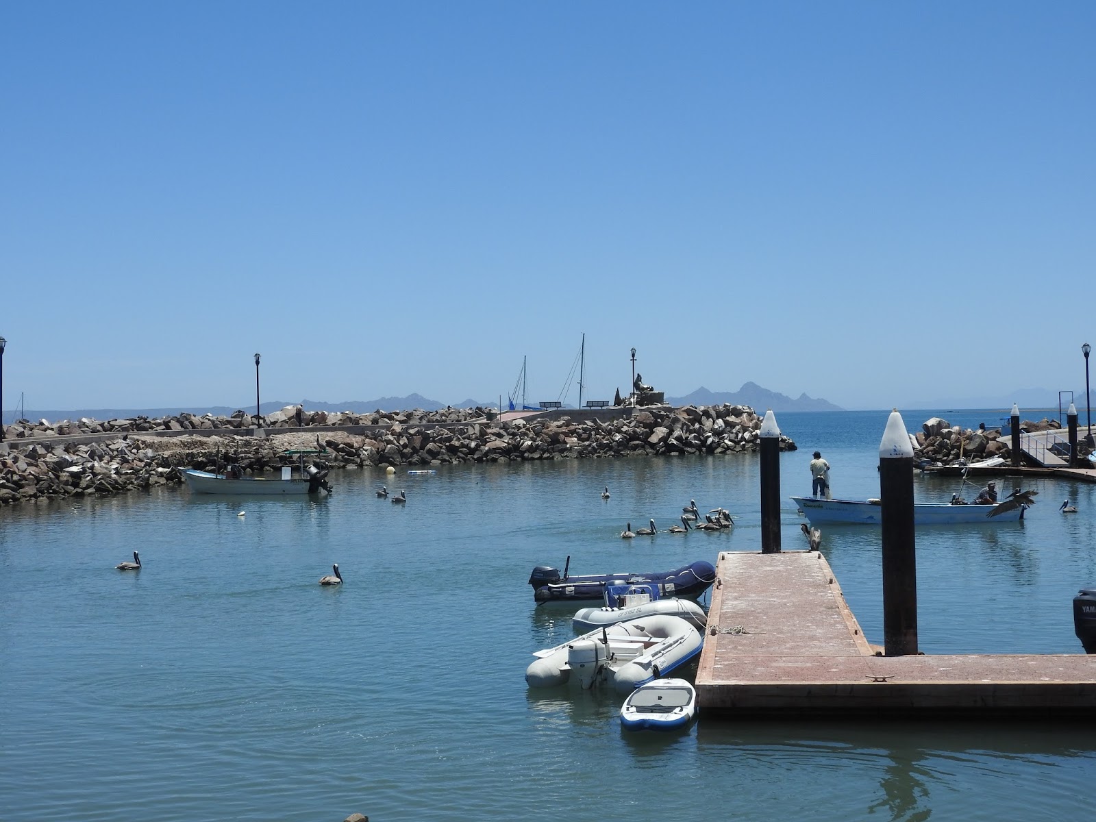
Puerto Escondido (Hidden Port) is almost completely
landlocked. The 200 foot wide entrance
channel cannot be seen until one is aligned with it and ready to enter the
bay. Some boats and buildings around the
outer bay known as the “waiting room” can be seen from afar and provide a
target. Boats can anchor in the “waiting
room.” This is a good anchorage for deep
draft vessels that might have trouble passing through the channel. On the left, as you transit the entrance
channel, is the manmade anchoring basin known as “the Ellipse”. Fees to anchor in “the Waiting Room” or “the
Ellipse” are lower than inside the main bay and are payable at the API
office. Many cruisers who have made
Puerto Escondido their home have installed private moorings in these areas. Rumor has it that the Ellipse will soon be developed as a marina.
 |
| The Waiting Room |